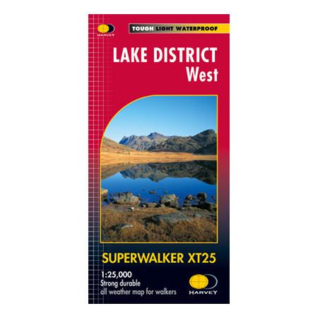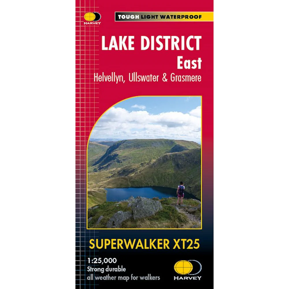
Harvey Maps Lake District East
Detailed 1:25,000 scale walking maps of the UK and Ireland. Exceptionally clear and easy to read.
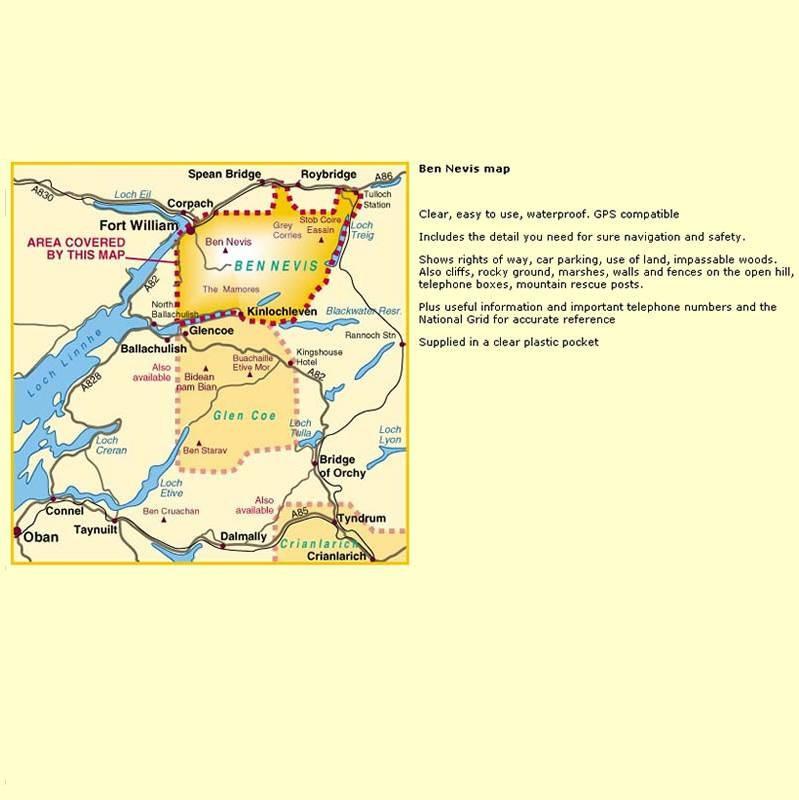
Improved and extended coverage as far as the A6 and to Kentmere & Troutbeck in the west. Shap summit, High Street, Ullswater, Pooley Bridge and Haweswater Reservoir are all featured. Includes 82 Wainwrights.
Specification
- Manufacturer: Harveys Map 1:25
- Map Area: Lake District
- Scale: 1:25000
- Printed on polyethylene (strong, durable & 100% waterproof)
- GPS compatible
- Shows pubs and cafes for the end of the day
Related Collections
- If this isn't the right area, check out our full Harveys Map Collection
- Or for our full range of English maps including OS, check out our English Maps Collection
Detailed 1:25,000 scale walking maps of the UK and Ireland. Exceptionally clear and easy to read.
Improved and extended coverage as far as the A6 and to Kentmere & Troutbeck in the west. Shap summit, High Street, Ullswater, Pooley Bridge and Haweswater Reservoir are all featured. Includes 82 Wainwrights.
Specification
- Manufacturer: Harveys Map 1:25
- Map Area: Lake District
- Scale: 1:25000
- Printed on polyethylene (strong, durable & 100% waterproof)
- GPS compatible
- Shows pubs and cafes for the end of the day
Related Collections
- If this isn't the right area, check out our full Harveys Map Collection
- Or for our full range of English maps including OS, check out our English Maps Collection
Original: $20.80
-65%$20.80
$7.28Description
Detailed 1:25,000 scale walking maps of the UK and Ireland. Exceptionally clear and easy to read.
Improved and extended coverage as far as the A6 and to Kentmere & Troutbeck in the west. Shap summit, High Street, Ullswater, Pooley Bridge and Haweswater Reservoir are all featured. Includes 82 Wainwrights.
Specification
- Manufacturer: Harveys Map 1:25
- Map Area: Lake District
- Scale: 1:25000
- Printed on polyethylene (strong, durable & 100% waterproof)
- GPS compatible
- Shows pubs and cafes for the end of the day
Related Collections
- If this isn't the right area, check out our full Harveys Map Collection
- Or for our full range of English maps including OS, check out our English Maps Collection