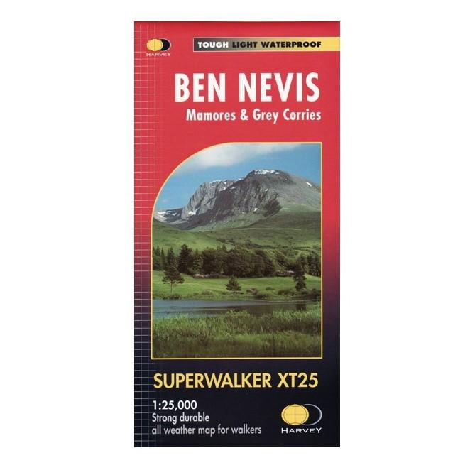
Harvey Maps Ben Nevis
Detailed 1:25,000 scale walking maps of the UK and Ireland. Exceptionally clear and easy to read.
Fort William through Glen Nevis to Loch Treig. From the Grey Corries south to Kinlochleven. Ben Nevis, the Aonachs and the Mamores are among the 20 'Munros' and 4 'Corbetts'. Enlargement of Ben Nevis summit. As used by the Lochaber Mountain Rescue Team.
Specification
- Manufacturer: Harveys Map 1:25
- Map Area: Scotland West
- Scale: 1:25000
- Printed on polyethelene (strong, durable and 100% waterproof)
- GPS Compatible
- Includes pubs and cafes for the end of the day, plus Bothies
Related Collections
- If this isn't the right area, check out our full Harveys Map Collection
- Or for our full range of Scottish maps including OS, check out our Scottish Maps Collection
Original: $20.80
-65%$20.80
$7.28Description
Detailed 1:25,000 scale walking maps of the UK and Ireland. Exceptionally clear and easy to read.
Fort William through Glen Nevis to Loch Treig. From the Grey Corries south to Kinlochleven. Ben Nevis, the Aonachs and the Mamores are among the 20 'Munros' and 4 'Corbetts'. Enlargement of Ben Nevis summit. As used by the Lochaber Mountain Rescue Team.
Specification
- Manufacturer: Harveys Map 1:25
- Map Area: Scotland West
- Scale: 1:25000
- Printed on polyethelene (strong, durable and 100% waterproof)
- GPS Compatible
- Includes pubs and cafes for the end of the day, plus Bothies
Related Collections
- If this isn't the right area, check out our full Harveys Map Collection
- Or for our full range of Scottish maps including OS, check out our Scottish Maps Collection